
BREAKING WEATHER UPDATE: Saline County Under Moderate Risk for Severe Storms Today
The National Weather Service in Wichita is forecasting scattered to numerous severe thunderstorms across Saline County this afternoon and tonight, placing the county in a Moderate Risk, Level 4 of 5, for severe weather.
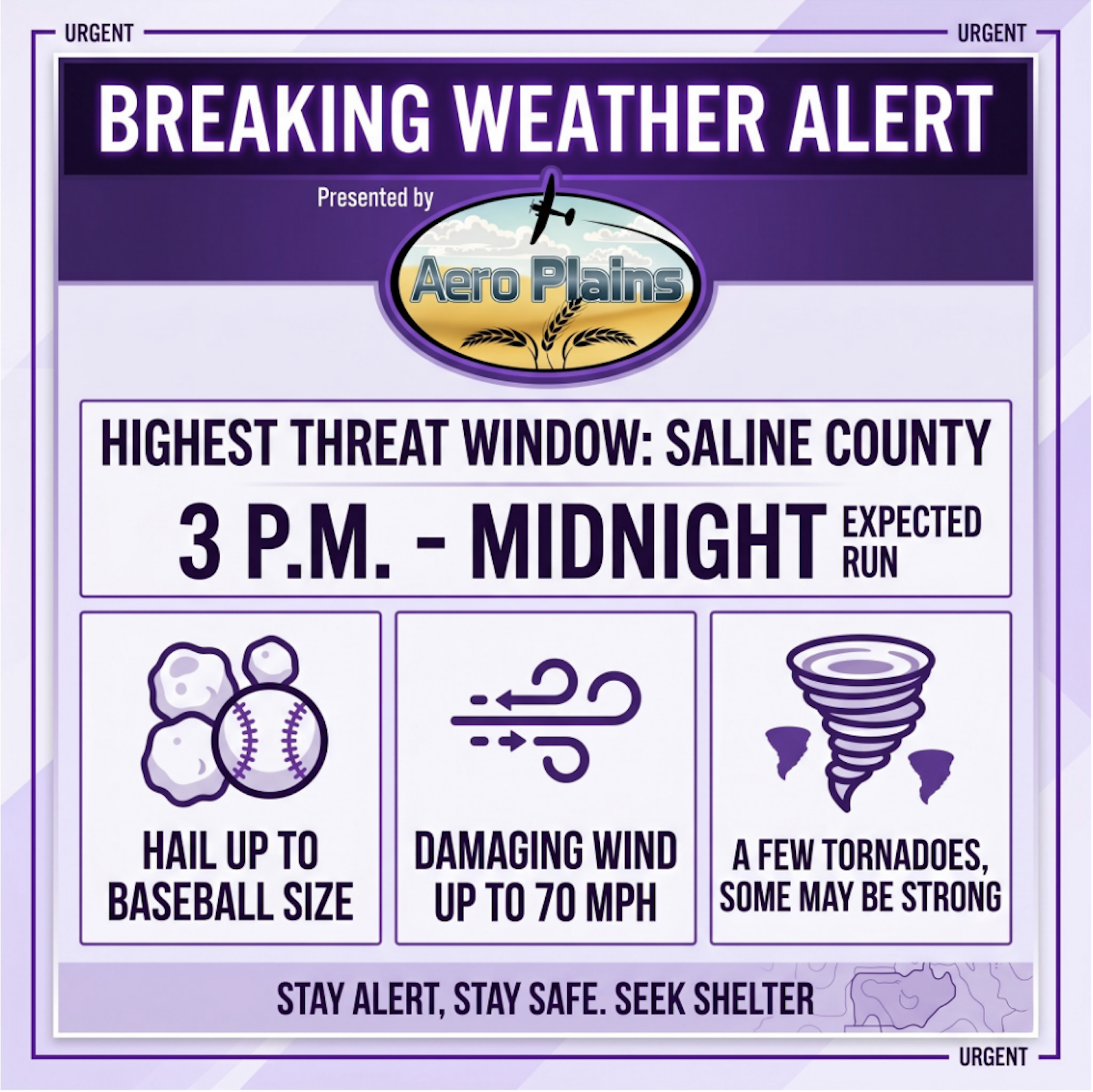
The highest threat window for Saline County is expected to run from 3 p.m. to midnight, though storms could begin developing as early as 2 p.m. Because apparently the atmosphere looked at the calendar and chose violence.
Main Threats
Severe storms today may be capable of producing:
Hail up to baseball sizeDamaging wind gusts up to 70 mphA few tornadoes, some of which may be strongHeavy rainfall
Residents should stay weather-aware throughout the afternoon and evening and be ready to take action quickly if warnings are issued.
Safety Reminders
Have more than one way to receive weather alerts, including Wireless Emergency Alerts and NOAA Weather Radio.
Do not rely only on outdoor warning sirens, especially if you are indoors.
Identify your safe place now, such as a basement or an interior room on the lowest floor of your home.
Move vehicles into a garage or under cover if possible.
Secure outdoor items that could be blown around by strong winds.
Avoid windows during storms, especially during hail or high winds.
If a warning is issued, take shelter immediately.
Salina311 will continue monitoring conditions throughout the day.