
Why Salina’s Clouds Are Moving the “Wrong” Direction Today
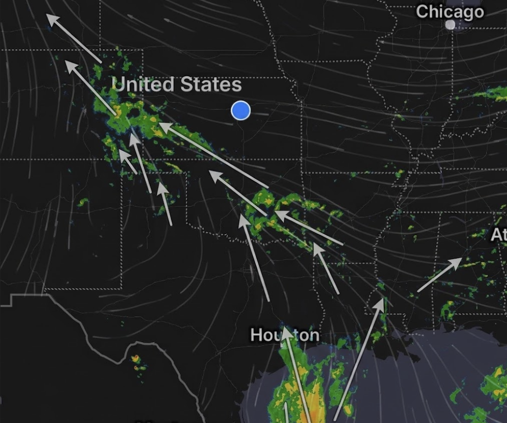
Salina residents looking up Wednesday may notice something that appears backwards: clouds moving from east to west instead of the more familiar west-to-east pattern.
The explanation is tied to the wind pattern over central Kansas. According to the National Weather Service in Wichita, winds across the area were expected to remain out of the east through the afternoon and evening before becoming light and variable overnight. Since clouds generally move with the wind at the level where they are located, easterly winds can push cloud cover westward across the area.
The same forecast discussion points to a slow-moving upper-level trough approaching from the south-southwest. That system is expected to increase scattered showers and thunderstorms across the region Wednesday evening into Thursday, with rain chances continuing off and on into the weekend.
While moisture feeding into the region may be connected to Gulf air, that does not mean the visible clouds over Salina have to move north or east. Once moisture reaches Kansas, local wind direction and upper-level weather systems determine how clouds and storms move.
The National Weather Service said locally heavy rainfall will be the primary concern through Friday morning. Strong or severe storms were not expected Wednesday night into Thursday, though slow storm movement and moisture-rich air could support heavier downpours in some areas. Rainfall totals may vary, but many locations could see at least a quarter to half inch of rain, with isolated higher amounts possible.
A lower-end severe weather threat could return Friday through Sunday as the larger weather system shifts east and conditions become more supportive of isolated to scattered thunderstorms. Temperatures are expected to remain seasonable, with highs generally in the upper 70s to mid-80s through the next several days.