
Story
Flood Watch: Salina Area
June 9, 2026
weather, forecast
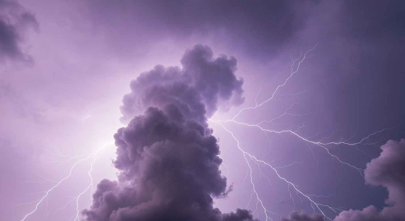
Salina, Kansas — Thunderstorm expected today with a high of 92°F and a low of 67°F.
⚠️ Active Weather Alerts
- 🟠 Flood Watch: Flood Watch issued June 9 at 3:23AM CDT until June 9 at 7:00AM CDT by NWS Wichita KS
- You should monitor later forecasts and be prepared to take action
should Flash Flood Warnings be issued. - 🟡 Heat Advisory: Heat Advisory issued June 9 at 1:06AM CDT until June 9 at 7:00PM CDT by NWS Wichita KS
- Drink plenty of fluids, stay in an air-conditioned room, stay out of
the sun, and check up on relatives and neighbors. - 🔵 Hydrologic Outlook: Hydrologic Outlook issued June 8 at 8:32PM CDT by NWS Topeka KS
Today's Forecast — Tuesday, June 9
- Conditions: Thunderstorm
- High / Low: 92°F / 67°F
- Wind: S 15 mph, gusts to 33 mph
- Precipitation: 55% chance
- UV Index: 8.35 — Very High — limit outdoor exposure
- Sunrise / Sunset: 06:04 / 20:54
- Daylight: 14.8 hours (11.6 hours of sunshine expected)
What Matters Most Today
- Wind impact: gusts up to 33 mph.
- Feels-like swing: up to 101°F.
- Sun safety: UV index reaches 8.35; sunscreen still matters even with cloud cover.
- Best outdoor window: Morning (lowest average rain risk).
Comfort & Conditions
- Feels Like: 69°F to 101°F (wind chill / heat index)
- Humidity: 68%
- Dew Point: Up to 77°F — muggy conditions
Hour-by-Hour Breakdown
- Morning (6AM–Noon): Clear sky, 74°F, winds 12 mph, 85% humidity
- Afternoon (Noon–6PM): Thunderstorm, 90°F, winds 12 mph, 60% humidity
- Evening (6PM–Midnight): Overcast, 84°F, winds 12 mph, 50% humidity
Air Quality & Allergens
- Air Quality Index: 33 (peak 42) — Good
- PM2.5: 6.9 µg/m³
Tomorrow's Outlook
Thunderstorm with a high of 97°F and a low of 74°F. 40% chance of precipitation.
Forecast data provided by Open-Meteo. Air quality data from Open-Meteo Air Quality API. For severe weather alerts, visit your local National Weather Service office.
Share this story