Flood Watch Remains in Effect for Saline County as More Heavy Rain Expected
Saline County remains under a Flood Watch through Thursday evening as another round of showers and thunderstorms could produce heavy rainfall across central Kansas.
The National Weather Service in Wichita said the watch remains in effect until 7 p.m. Thursday, Oct. 1, for Saline, Ellsworth, Lincoln, Russell and Barton counties. Excessive runoff could lead to flooding of creeks, streams, low-lying areas and other flood-prone locations.
Rainfall Totals
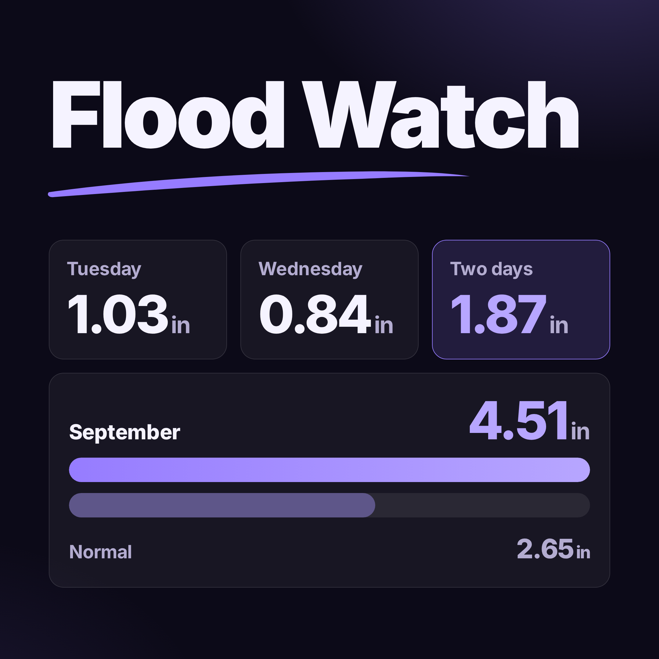
The Salina Regional Airport officially recorded 0.84 inches of rain Wednesday, according to National Weather Service climate data. That followed 1.03 inches Tuesday, bringing the airport's two-day total to approximately 1.87 inches.
Salina finished September with 4.51 inches of precipitation, compared with a normal September total of 2.65 inches — about 1.86 inches above normal.
A CoCoRaHS weather station about 1.8 miles east-southeast of Salina reported 4.54 inches for September, providing a similar reading from another location in the city.
More Rain Possible Thursday
Additional showers and thunderstorms are expected Thursday, with the National Weather Service putting the chance of precipitation in Salina at 90%. Some storms could produce high rainfall rates, increasing the potential for localized flooding where the ground is already saturated.
Residents should use caution around flooded roads and low-water crossings and should not attempt to drive through water covering a roadway.
Conditions are expected to improve by Friday, with sunshine returning and a high near 67 degrees.
Salina311 will continue to monitor rainfall totals and any flood warnings issued for Saline County.